Nepal History and Geography
History
According to myth, once upon a time the Kathmandu Valley was a great lake in the middle of which a brilliant flame burned from a lotus flower. Manjushri, a Buddhist from China, smote the lake with a magical sword and the water was drained from it. It is said that Swayambhu appeared in the flame when the valley was formed. But according to the Hindu religion, Krishna created the valley, hurling a thunderbolt at the lake to create the Chorbar gorge.
The rivers of the valley do indeed flow southward through the narrow gorge and scientists agree that the valley was once submerged. The recorded history of Nepal began with the reign of the Kiratis from the eastern part of the country. Yalambar, the first of their kings, is mentioned in the Hindu epic, The Mahabharata. During the Kirati period, Buddhism was introduced to the country.
Krakuchhanda Buddha, Kanak Muni Buddha and Kashyapa Buddha visited the Kathmandu valley to worship Swayambhunath. After Kiratis, the Lichhavis ruled from the 4th to the 7th century. The temple of Changunarayan was built in Licchavi period, and can still be seen today.The Malla period was a golden era in Kathmandu valley, when great art, statues and temples were created. During the 147th century, Malla ruled for a total of 568 years. The country was divided into many small principalities and kingdoms, and the Kathmandu valley was divided into three states; Kantipur, Lalitpur & Bhaktapur.
In the tiny Kingdom of Gorkha, halfway between Kathmandu and Pokhara, the Shah dynasty gradually extended their power. In 1768, King Prithivi Narayan Shah defeated the Malla kings and Nepal has been ruled by Shah kings ever since. Our Last-King, Gyanendra Bir Bikram Shah Dev was the eleventh king in the shah dynasty.
Geography
Nepal is a mountainous kingdom, located in Southern of Asia. It is a landlocked, situated between China to the North and India to the South East and West. The area of Nepal is 1, 47,516 sq. km - which covers 0.3 percent of Asia and 0.03 percent area of the world. It lies between latitudes of 26′ 22′ and 30′ 27′ North and longitudes of 80′ 4′ and 88′ 12′ East. The country is only about 880 km. from East to West and its breadth varies from 145 to 241 km.
The topography changes dramatically within a short lateral distance. There is a narrow strip of low lands in the south. Further north lie the Himalayan foothills and ranges which run roughly east-west across the country and include eight of the highest peaks in the world - each over 8000m. Geographically, Nepal is divided into three main regions: The Himalayan Region, the Hilly Region and the ' Terai' plain region.
The mountainous region covers 15 per cent of the total area of the northern side of the country, lying horizontally at altitudes of 4700m and higher. In this region snow falls every season and mountains such as Everest (8848m) have attracted adventurers for many decades. Another attraction of this region is the 'kundas' (big lakes) and several national parks and wildlife reserves, including Sagarmatha National Park, which is a world heritage site. In this region, you can see Sherpa settlements and perhaps sightings of snow bears and Yeti footprints.
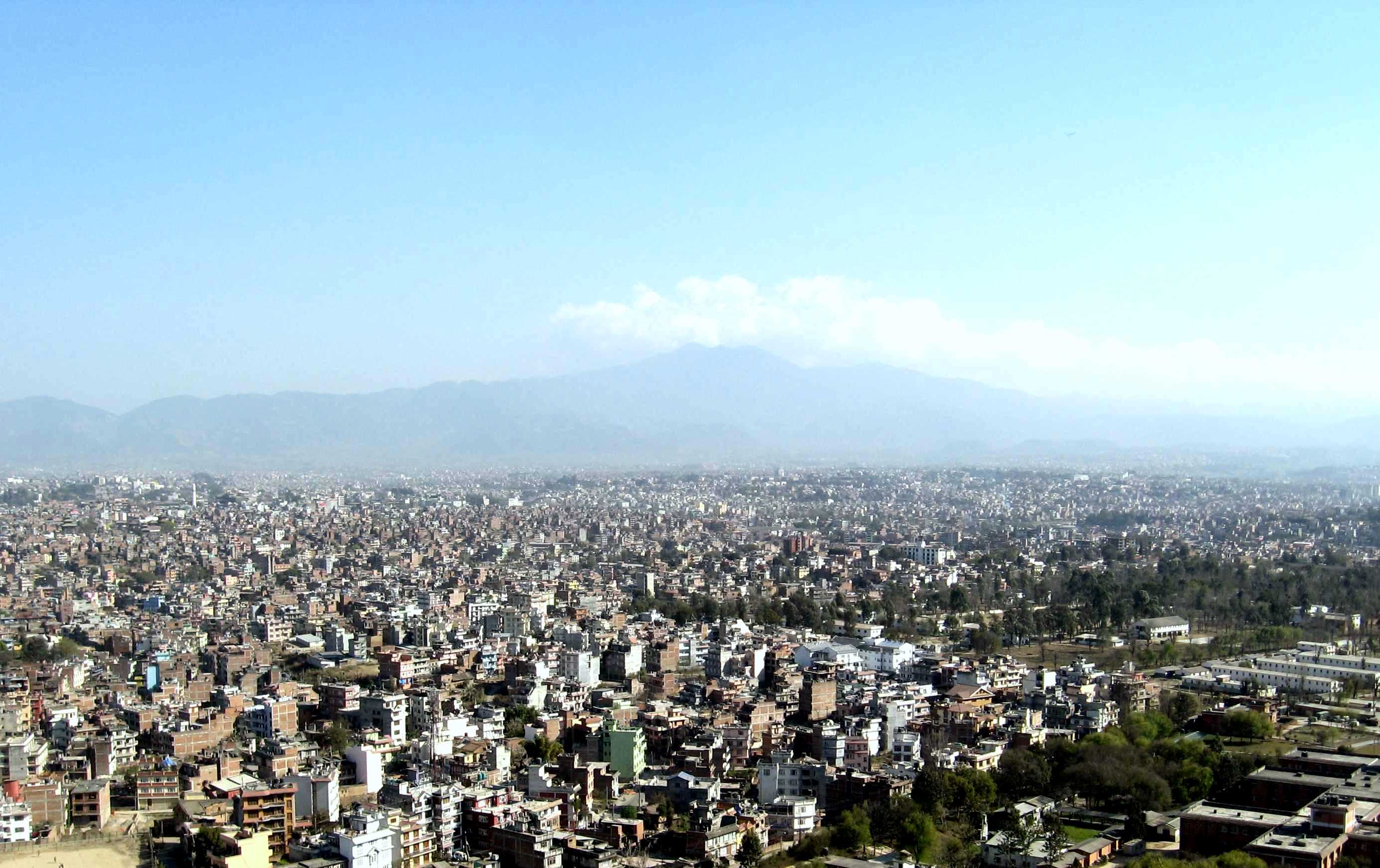
The hilly region forms 68 per cent of the country and is formed by the Mahabharat range that soars to touch mountain region, with altitudes of 600 to 4,700 m. In winter, snow may fall in the higher areas. This region is formed by beautiful valleys like Kathmandu and Pokhara and famous for its lakes, in Pokhara Phewa, Begnas, Rupa etc. and the Tilicho lake in Manang District, which are wonderful for swimming and boating. There are three major rivers, the Koshi, Gandaki and Karnali.
Additional attractions in this region are Nagarkot and Dhulikhel, where the heart-stopping beauty of a sunrise can be viewed as never before. Most of the snow-covered mountain ranges can be enjoyed from hilltops of Nagarkot, Phulchoki and Pokhara.
The Terai region covers 17 per cent of the total, with an altitude of 70m to 600m above sea level. This is the region of religious icons, national parks, and wildlife reserves. The most famous holy places are Janakpur, Lumbini and Barahachhetra. Lumbini was the birthplace of Lord Buddha, the champion of world peace. There are four national parks and wildlife reserves in this region. Among them the Royal Chitwan National park, with its rhinoceros. This region is also noted as the place where most trekkers take the first steps of their adventure.