
Mount Everest, called Sagarmatha in Nepal, is the tallest mountain on Earth measured the way most people mean it: height above sea level. Its official elevation, confirmed by a joint Nepal-China survey in 2020, is 8,848.86 meters (29,031.7 feet). No other peak on the planet reaches higher into the sky.
But "tallest" has more than one technical meaning, and two other mountains — Mauna Kea in Hawaii and Chimborazo in Ecuador — can fairly claim their own records. This guide sorts out the confusion, gives you the real numbers, and explains how you can actually go see Everest for yourself, whether that means a short flight from Kathmandu or a two-week trek to its base.
Is Mount Everest Really the Tallest Mountain on Earth?
Yes, if you're asking which mountain's summit sits at the greatest height above sea level. That is the standard definition used by geographers, mountaineers, and every national government, and by that measure Everest has held the title since British surveyors first calculated its height in 1856.
The confusion comes from two other ways of measuring a mountain:
- Base to summit — measuring the whole bulk of the mountain, including the part below sea level or below ground.
- Distance from the Earth's center — because the planet bulges at the equator, a mountain near the equator can have its summit farther from the core than Everest does, even though it is shorter above sea level.
Neither of these change the plain-language answer most people want: Everest is the highest point above sea level on Earth, and it sits inside Sagarmatha National Park on the Nepal-China border.
Mount Everest Height: The Official Numbers
| Measurement | Figure |
|---|---|
| Official height (snow height, 2020 survey) | 8,848.86 m / 29,031.7 ft |
| Rock height (without snow cap) | 8,844.43 m |
| First confirmed height (1955 survey) | 8,848 m |
| Location | Nepal-China border, Mahalangur Himal, Himalayas |
| Local names | Sagarmatha (Nepali), Chomolungma (Tibetan) |
| First ascent | 29 May 1953, Edmund Hillary and Tenzing Norgay Sherpa |
| Annual growth | About 3-4 mm a year, from tectonic uplift |
Nepal and China jointly announced the 8,848.86 m figure in December 2020 after years of disagreement over whether to count the snow cap. That number is now the one used by both governments and most international bodies. For a deeper look at the measurement history, see HSJ's own explainer on Mount Everest's height and location.
Three Mountains, Three "Tallest" Titles
If someone tells you Everest isn't really the tallest mountain, they're talking about one of these two:
| Mountain | Country | What it's tallest at | Height |
|---|---|---|---|
| Mount Everest | Nepal / China | Highest point above sea level | 8,848.86 m above sea level |
| Mauna Kea | USA (Hawaii) | Tallest base-to-summit (most of it is underwater) | About 10,200 m base to peak, only around 4,200 m above sea level |
| Chimborazo | Ecuador | Summit farthest from the Earth's center (equatorial bulge effect) | 6,263 m above sea level |
For travel purposes, Everest is the one that matters. It's the mountain with permits, trekking routes, expedition seasons, and the cultural weight of being the roof of the world. Mauna Kea is a dormant volcano you can drive most of the way up; Chimborazo is a technical but non-extreme climb in the Andes.
Where Is the Tallest Mountain on Earth Located?
Everest sits on the border between Nepal's Khumbu region and Tibet (China), in the Mahalangur range of the Himalayas. The Nepal side, inside Sagarmatha National Park, is where almost all trekkers and the majority of climbers approach from. The nearest airport is Tenzing-Hillary Airport in Lukla, reached by a short flight from Kathmandu, which is itself about a 30-40 minute flight or a multi-day drive from most of Nepal's other tourist hubs.
How Do People Actually See the Tallest Mountain on Earth?
There are three realistic ways, depending on your time, budget, and fitness.
1. Trek to Everest Base Camp
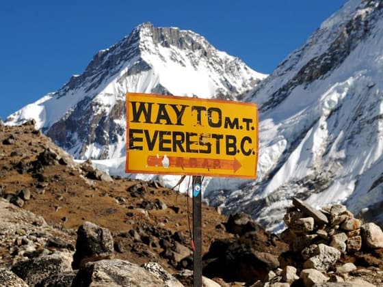
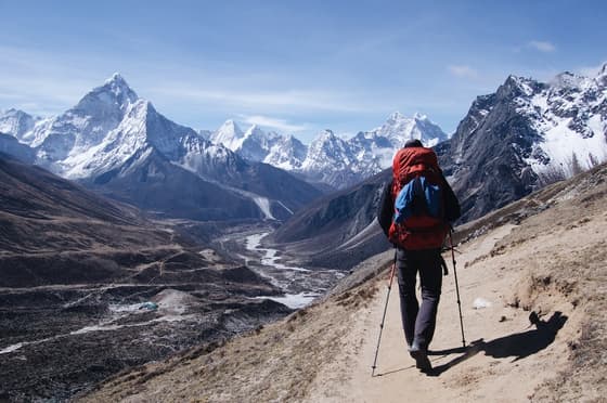
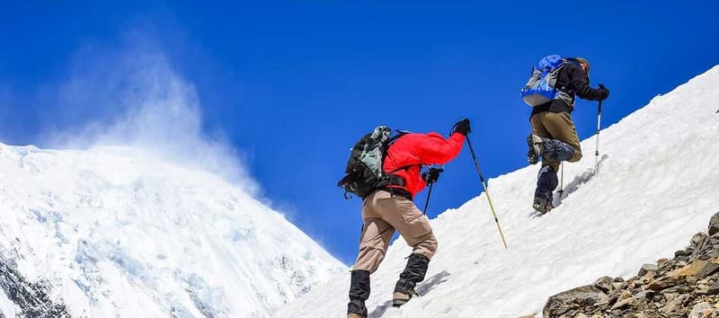
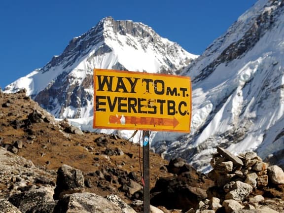
This is the most common way travelers get close to Everest without climbing it. The classic route is 12-14 days round trip from Kathmandu, flying into Lukla (2,860 m) and walking up the Khumbu valley through Namche Bazaar (3,440 m), Tengboche, and Dingboche to Everest Base Camp itself at about 5,364 m. Most itineraries also include a side trip up Kala Patthar (5,545 m), which gives a better direct view of Everest's summit than base camp does — base camp sits in the Khumbu Icefall and doesn't actually show the summit.
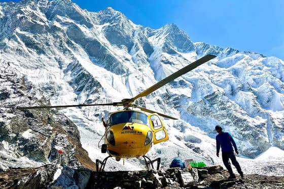
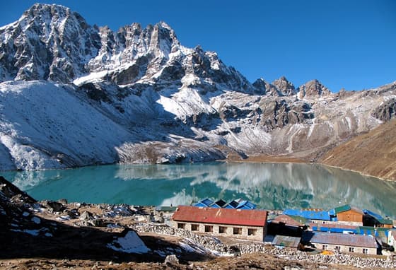
HSJ runs the standard Everest Base Camp Trek (14 days), a shorter 12-day version with a helicopter return, and longer options for trekkers who want more, like the Gokyo Ri and Everest Base Camp Trek (17 days) or the demanding Everest Three Passes Trek (19 days). All routes sit within the Everest region trekking collection.
2. Take a Mountain Flight
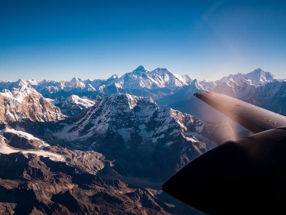
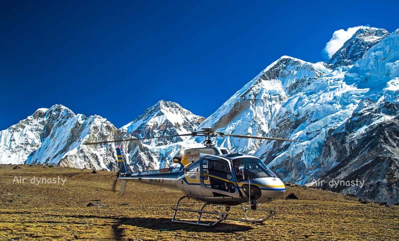
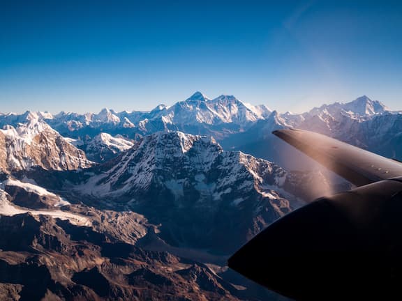
If you have one day in Kathmandu and want to see Everest without walking, a one-hour scenic mountain flight gives you window views of Everest and the surrounding 8,000 m peaks from the air, with no trekking fitness or permits required. HSJ runs a daily Everest scenic flight from Kathmandu.
3. Climb It
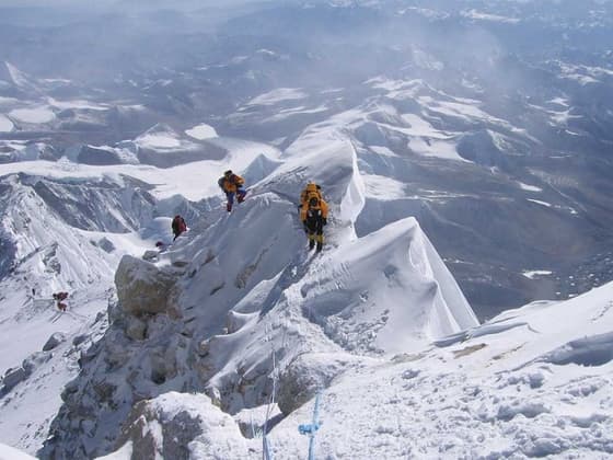
Climbing Everest is a serious, expensive, multi-week expedition for experienced high-altitude mountaineers, usually attempted in the pre-monsoon spring window (April-May). HSJ organizes the full Mt. Everest Expedition, 8,848 m, 60 days via the standard South Col route for climbers with the right experience and training.
When Is the Best Time to See Everest?
Nepal has two main trekking windows for the Everest region:
- Spring (March-May): Warming temperatures, clearer mornings, rhododendrons in bloom lower down, and the only window most expeditions use for summit attempts. This is the busiest season on the trail.
- Autumn (late September-November): Generally the most stable weather and the clearest mountain views of the year, with cold nights but reliably dry days.
- Winter (December-February): Possible but very cold, with some teahouses above Dingboche closing. Fewer trekkers, very clear skies on good days.
- Monsoon (June-August): Not recommended for trekking or flying — cloud cover usually blocks mountain views, and Lukla flights are frequently delayed.
Permits and Costs for Visiting Everest
Costs below are a general guide. Government fees in Nepal change periodically, so always confirm current rates with your operator before booking.
| What | Who needs it | Approximate cost (2025) |
|---|---|---|
| Sagarmatha National Park entry permit | All foreign trekkers | Around USD 30 per person |
| Khumbu Pasang Lhamu Rural Municipality entry fee | All foreign trekkers | Around USD 20 per person |
| Everest climbing permit (South Col route, spring, foreigners) | Expedition climbers | USD 15,000 per person, raised from USD 11,000 starting 1 September 2025 |
| Lukla flight (Kathmandu-Lukla return) | Trekkers and climbers | Booked as part of most trek packages |
The TIMS card previously required for Khumbu treks has been replaced by the municipality entry fee above, so trekkers heading to Everest Base Camp no longer need a separate TIMS permit — only the national park permit and the local fee. Nepal's Department of Tourism publishes the official mountaineering permit schedule, and the Nepal Tourism Board has general visitor and visa information.
What People Usually Ask Next
Is Everest the highest mountain or the tallest mountain?
Both terms are used for the same thing in everyday speech, and Everest holds the record for "highest point above sea level," which is what most people mean by either phrase. Only in technical base-to-summit or distance-from-center measurements do other mountains take the title.
Can beginners trek to Everest Base Camp?
Reasonably fit beginners with no prior high-altitude experience complete the trek regularly, usually over 12-14 days with built-in acclimatization days at Namche Bazaar and Dingboche. The main risk is altitude sickness, not technical difficulty, since the trail itself is a walking route with no climbing gear needed.
Do I need a permit to see Everest from a flight?
No. A scenic mountain flight from Kathmandu requires no trekking permit, climbing permit, or park fee, since you never set foot in Sagarmatha National Park.
How long does it take to reach Everest Base Camp?
Most itineraries take 8-9 days of walking from Lukla to base camp and back to Lukla, built into a 12-14 day package once you add the Lukla flights, acclimatization days, and a buffer day for weather delays.
Is Kilimanjaro or Everest taller?
Everest, by a wide margin. Kilimanjaro's summit sits at 5,895 m above sea level, while Everest reaches 8,848.86 m — Everest is roughly 50% higher.
If you want to compare Everest against the rest of the world's giant peaks, HSJ has a full ranked breakdown in Tallest Mountains in the World: Ranked List & Nepal Guide. For trip planning across the wider region, browse HSJ's trekking in Nepal collection or see Nepal's full range of tours and treks.
Frequently asked questions
Is Everest the highest mountain or the tallest mountain?
Both phrases are used for the same record in everyday speech. Everest holds the title for greatest height above sea level, which is what most people mean by either term.
Can beginners trek to Everest Base Camp?
Yes. Reasonably fit beginners complete it regularly over 12-14 days with acclimatization days built in at Namche Bazaar and Dingboche. The challenge is altitude, not technical climbing.
Do I need a permit to see Everest from a flight?
No. A scenic mountain flight from Kathmandu needs no trekking permit or park fee, since you don't enter Sagarmatha National Park.
How long does it take to reach Everest Base Camp?
About 8-9 days of walking from Lukla to base camp and back, usually packaged into a 12-14 day trip with Lukla flights and a weather buffer day.
Is Kilimanjaro or Everest taller?
Everest, by far. Kilimanjaro's summit is 5,895m above sea level; Everest reaches 8,848.86m, about 50% higher.
Why do some sources say Mauna Kea is the tallest mountain?
Mauna Kea is taller measured base-to-summit, including the part underwater, at roughly 10,200m. Measured above sea level, which is the usual definition, it is only about 4,200m, far shorter than Everest.