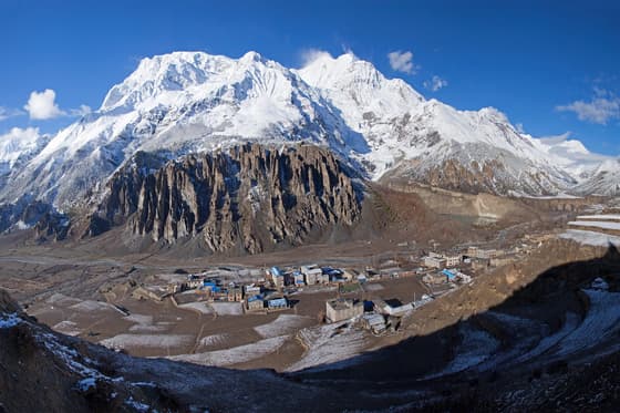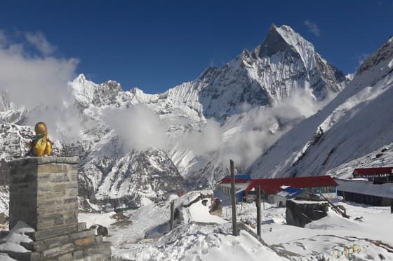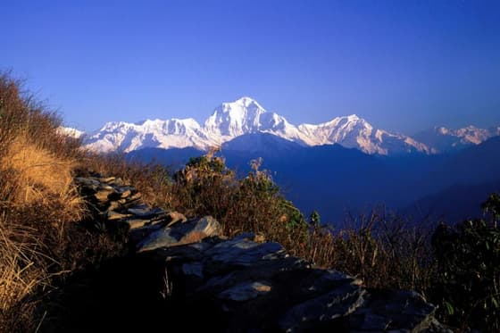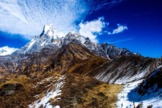

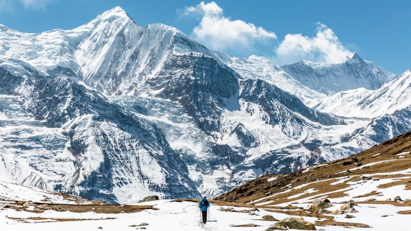
The Annapurna Himalayas are a cluster of peaks in north-central Nepal, anchored by Annapurna I (8,091m), the tenth-highest mountain on earth. The range sits inside the Annapurna Conservation Area, Nepal's largest protected area, and is reached from Pokhara, a 25-minute flight or 6-7 hour drive from Kathmandu.
Most visitors come here to trek, not to climb. Annapurna offers more route options than any other Nepali range: short 3-day hikes, the classic Annapurna Circuit, and multi-week passes through Upper Mustang. This guide covers the geography, the main trek options, permits, seasons and costs, so you can work out which part of the Annapurna Himalayas fits your time and fitness.
Where Are the Annapurna Himalayas?
The Annapurna massif runs roughly east-west across Kaski, Manang and Mustang districts, about 150km west of Kathmandu. It forms a horseshoe of peaks around a deep central basin called the Annapurna Sanctuary, with the Kali Gandaki — the world's deepest gorge, measured from peak to riverbed — cutting through its western side between Annapurna I and Dhaulagiri.
The whole area falls inside the Annapurna Conservation Area (ACA), established in 1986 and managed by the National Trust for Nature Conservation. At roughly 7,629 square kilometres, it's Nepal's largest conservation area and covers everything from subtropical river valleys at 1,000m to the high desert of the Tibetan plateau above 4,000m. It's managed by the National Trust for Nature Conservation, and general travel advice for the country is published by the Nepal Tourism Board.
Main peaks of the Annapurna range
| Peak | Height | Notes |
|---|---|---|
| Annapurna I | 8,091m | First 8,000m peak ever climbed, by a French team in 1950 |
| Annapurna II | 7,937m | Seen from the Manang valley on the Circuit |
| Annapurna III | 7,555m | Rises above the Annapurna Sanctuary |
| Annapurna South | 7,219m | Visible from Ghorepani and Poon Hill |
| Gangapurna | 7,455m | Overlooks Manang and Gangapurna Lake |
| Machhapuchhre (Fishtail) | 6,993m | Sacred peak, never officially summited, closed to climbing |
| Dhaulagiri | 8,167m | Not part of the Annapurna massif but visible from most routes |
What Makes Annapurna Different From Everest?
People ask this often, and the short answer is access and variety. Everest region treks start with a mountain flight to Lukla and stay above 2,800m the whole way. Annapurna treks mostly start by road or short flight from Pokhara, and the trails drop as low as 1,000m before climbing back above 5,000m, so you pass through far more climate zones — subtropical forest, pine and rhododendron, and finally high alpine desert — in a single trek.
Annapurna is also more affordable to reach. Pokhara flights and the overland route from Kathmandu cost less than Lukla flights, and teahouses on the Circuit and Ghorepani routes are more numerous and competitively priced than in the Khumbu. If you're deciding between the two regions directly, see our comparison of Everest Base Camp vs Annapurna Base Camp.
Main Treks in the Annapurna Himalayas
| Trek | Typical length | Max altitude | Best for |
|---|---|---|---|
| Annapurna Circuit | 12-14 days | 5,416m (Thorong La) | Trekkers who want the full range of landscapes and a high pass crossing |
| Annapurna Base Camp (ABC) | 9-11 days | 4,130m | First-time Himalaya trekkers with 1-2 weeks to spare |
| Ghorepani Poon Hill | 5-6 days | 3,210m (Poon Hill viewpoint) | Short trips, families, anyone wanting mountain views without altitude risk |
| Mardi Himal | 6-7 days | around 4,500m (Mardi base camp) | A quieter alternative to ABC on a narrower ridge trail |
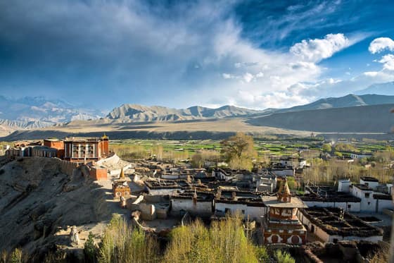
| Upper Mustang | 10-14 days | around 3,840m (Lo Manthang) | Desert landscape, Tibetan Buddhist culture, restricted-area permit required |
| Jomsom Muktinath | 7-9 days (can include a fly-in/fly-out option) | 3,800m (Muktinath) | Pilgrims and travellers who want Mustang's landscape with less walking |
HSJ runs all of these as guided trips. The Annapurna Circuit Trek follows the classic Besisahar-to-Muktinath route over Thorong La, the Annapurna Base Camp Trek goes in through Jhinu Danda and the Modi Khola gorge, and the Ghorepani Poon Hill Trek is the standard short option for a first Himalaya trip.
How hard is the Annapurna Circuit compared to ABC?
The Circuit is longer and crosses a genuine high pass at 5,416m, so it demands more acclimatisation days and better cold-weather gear, especially at Thorong Phedi and High Camp where night temperatures drop well below freezing in autumn and winter. ABC tops out at 4,130m and has no pass to cross — the main physical demand is the steep, repeated up-and-down walking through the Modi Khola valley, which is harder on the knees but lower risk for altitude sickness. Most trekkers in reasonable fitness, with proper acclimatisation days built in, manage either trek without serious issues.
Best Time to Trek the Annapurna Himalayas
| Season | Months | Conditions |
|---|---|---|
| Spring | March-May | Rhododendron forests bloom; warm at low altitude, cold above 4,000m; good visibility most mornings |
| Autumn | late September-November | Clearest skies of the year; the most popular and busiest season on every Annapurna trail |
| Winter | December-February | Cold and quiet; Thorong La and Mardi Himal base camp can see heavy snow; lower routes like Ghorepani and ABC stay open |
| Monsoon | June-August | Wet and cloudy on the Circuit and ABC side; Upper Mustang sits in the rain shadow and remains a reasonable monsoon option |
For a month-by-month breakdown across all of Nepal's regions, see our Best Time to Trek in Nepal guide.
Permits You Need for Annapurna Treks
Every trek inside the Annapurna Conservation Area needs two documents, arranged in Kathmandu or Pokhara before you start walking:
- Annapurna Conservation Area Permit (ACAP) — required for all routes covered in this guide, issued by the Nepal Tourism Board / ACAP office.
- TIMS card (Trekkers' Information Management System) — a registration card used to track trekkers on the trail, arranged through a registered agency or the TIMS office.
Upper Mustang is an exception: it's a restricted area and requires a separate special permit on top of ACAP, issued only through a registered trekking agency, with a minimum group size and a guide. Since 2023, Nepal has also required a licensed guide for most independent trekkers in several regions — if you're planning to trek without booking a full package, read our note on the guide requirement for solo trekkers before you fly in.
Permit fees change periodically, so confirm current rates with your agency, the Department of Tourism or TAAN, which issues the TIMS card, before departure. HSJ includes permit arrangement in all our Annapurna packages.
How to Get to the Annapurna Himalayas
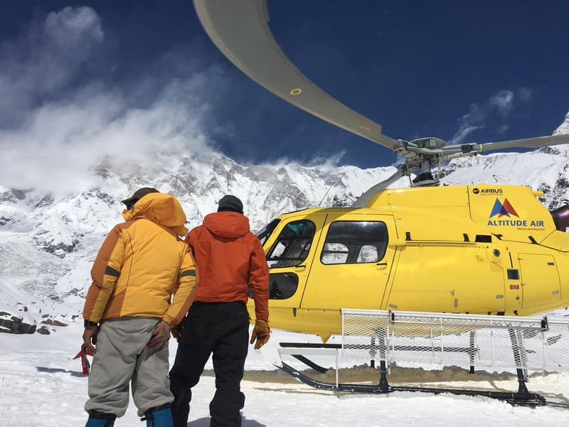
Pokhara is the gateway. From Kathmandu, you can fly (around 25 minutes) or take a tourist bus or private jeep (6-7 hours on the Prithvi Highway). From Pokhara, most treks start with a short drive: Besisahar for the Circuit, Nayapul or Jhinu Danda for ABC and Ghorepani, and Kande or Phedi for Mardi Himal. Upper Mustang and Jomsom trips usually begin with a short flight from Pokhara to Jomsom, weather permitting — these early-morning flights are often delayed or cancelled by wind later in the day, so it pays to build a spare day into your schedule if you're flying.
The People and Villages of the Annapurna Region
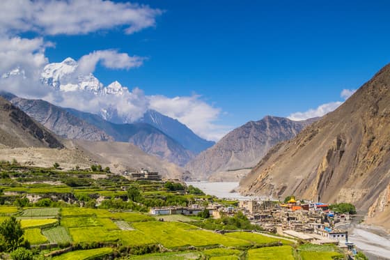
The Annapurna trails run through Gurung villages in the lower and middle hills (Ghandruk, Landruk, Chhomrong), Thakali settlements around the Kali Gandaki (Jomsom, Marpha, Tukuche), and Manangi and Tibetan-influenced communities in the high Manang valley and Mustang. Each group has its own language, architecture and festival calendar, and teahouse menus shift accordingly — Thakali dal bhat around Jomsom is a regional specialty worth trying.
Religious sites mark the route too. Muktinath Temple, at 3,800m near the western end of the Circuit, is sacred to both Hindus and Buddhists and draws pilgrims as well as trekkers. Braga monastery, just before Manang, is one of the oldest in the region.
Choosing the Right Annapurna Trek
- One week or less, first time in Nepal: Ghorepani Poon Hill, a short, low-altitude trek to a sunrise viewpoint.
- Nine to twelve days, want a base camp without a high pass: the Annapurna Base Camp Trek, with Poon Hill added if you want the sunrise viewpoint too.
- Two weeks, want the full range of landscapes and a high pass: the Annapurna Circuit Trek.
- Quieter trail, fewer crowds: the Mardi Himal Trek, which splits off from the Annapurna Sanctuary trail and sees a fraction of the Circuit or ABC traffic.
- Desert landscape and Tibetan Buddhist culture: the Upper Mustang Trek, a restricted area requiring a special permit.
- Short on time, want Mustang without the long walk-in: the Jomsom Muktinath Tour.
If you want a side-by-side look at full costs, our Annapurna Circuit Cost breakdown itemises permits, teahouses, guide and porter fees for that route. Browse the full set of itineraries on our Annapurna Region page.
A Realistic Daily Rhythm on the Trail
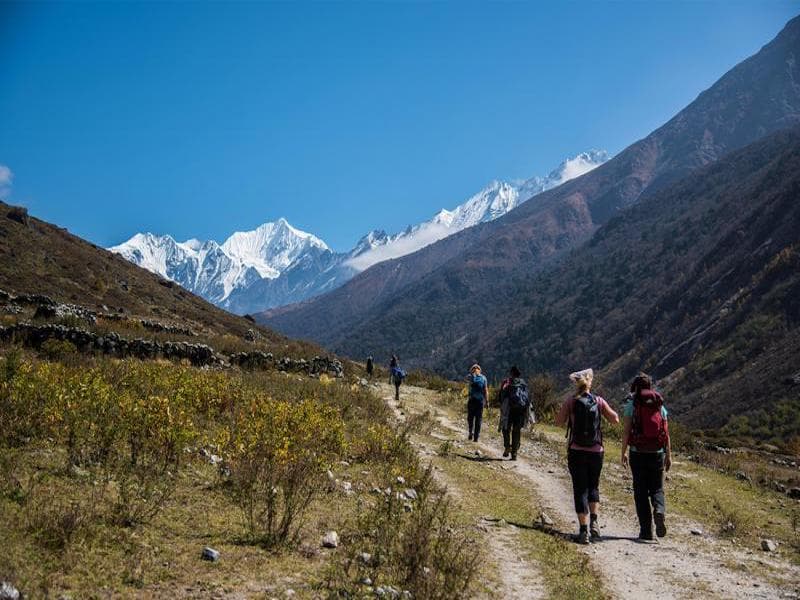
Trekking days in the Annapurna region follow a predictable pattern. Breakfast is served around 7:00am, walking starts by 7:30-8:00am to beat the afternoon cloud build-up, and most days cover 10-15km with 400-900m of elevation change depending on the route. Lunch is taken at a teahouse along the way, and you reach the next overnight stop by early-to-mid afternoon, leaving time to rest, wash and explore the village before dinner. On the Circuit, the Thorong La crossing breaks this pattern — trekkers leave High Camp at 3:00-4:00am to cross before the wind picks up.
Final Word
The Annapurna Himalayas reward trekkers at every fitness level and time budget, from a three-night hike to Poon Hill to a two-week crossing of Thorong La. The main decision is altitude and days available, not whether the scenery is worth it — on any of these routes, it is. HSJ has guided treks in this region since 2008, with NATHM-certified guides who know the Thorong La crossing in every season, including winter. If you're not sure which route fits your dates and fitness, get in touch with our trekking team and we'll build the itinerary around you.
Frequently asked questions
How many days does the Annapurna Circuit trek take?
HSJ's standard itinerary runs 13-14 days from Kathmandu back to Kathmandu, covering roughly 160km around the Annapurna massif and crossing Thorong La at 5,416m. Faster or slower versions exist depending on fitness and whether you add Tilicho Lake.
Do you need a guide to trek in the Annapurna region?
Yes, for most routes. Since 2023 Nepal has required independent (non-SAARC) trekkers to hire a licensed guide for the majority of trekking regions, including Annapurna. Upper Mustang has always required a guide as part of its restricted-area permit.
What is the highest point on an Annapurna trek?
Thorong La Pass, at 5,416m, is the highest point on the Annapurna Circuit. Annapurna Base Camp sits at 4,130m, and Poon Hill, the shortest popular trek, tops out at 3,210m.
Is Annapurna Base Camp or the Annapurna Circuit better for beginners?
Annapurna Base Camp is the better choice for most first-time trekkers: it's shorter (9-11 days), tops out lower at 4,130m, and has no high pass to cross. The Circuit suits trekkers with more time and some previous high-altitude experience.
When is the best time to see Annapurna's mountain views?
Late September through November gives the clearest skies of the year. March to May is the second-best window, with rhododendrons in bloom, though afternoon haze is more common than in autumn.
Can you fly directly to the Annapurna region?
You fly into Pokhara, not directly into the mountains. From Pokhara, treks start by road (Besisahar, Nayapul, Kande) or, for Upper Mustang and Jomsom routes, a short onward flight to Jomsom.